
The Walking Tube Map | An Incredible New Map From TfL
Walking between Tube stations isn’t hard.
Step 1.
Step 2.
…you know the rest.
And TFL went and made the whole thing even easier by releasing an official ‘walking Tube’ map showing how long it takes to amble between stations. They created it back in 2015, but now that Uber’s shutting down, walking is probably going to be very en vogue again.
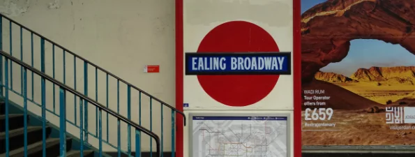
Andy Aldridge/Flickr
The map extends out to the edges of Zone 2 (after which a straight line between almost any two stations is ‘the scenic route’), and has a few outliers – a jaunt between adjacent stations Canada Water and Canary Wharf will apparently take you 2 hours and 24 minutes, and anyone buying a ticket for the 3 minute stroll between Embankment and Charing Cross is paying more per mile than the passengers on the Orient Express.*
NOTE: You can check out TFL’s walking tube map right HERE.
OTHER NOTE: *We’re not even joking, it’s about £2 per kilometre on the Orient Express, and about £14 per kilometre for a cash fare from Charing Cross to Embankment.
Want to know some other cool stuff about The Tube? We have an interesting fact about every tube station.